To conduct part inspection or reverse modelling of fragile, complex and free-form surfaces, LDI SLP or Faro Line Pro HD can be used to capture the detailed 3D point cloud of flush and gap that are difficult to be inspected using contact methods. Geomagic control software is used to gather the point cloud data whereas Design X is used to conduct reverse modelling using the collected raw data.
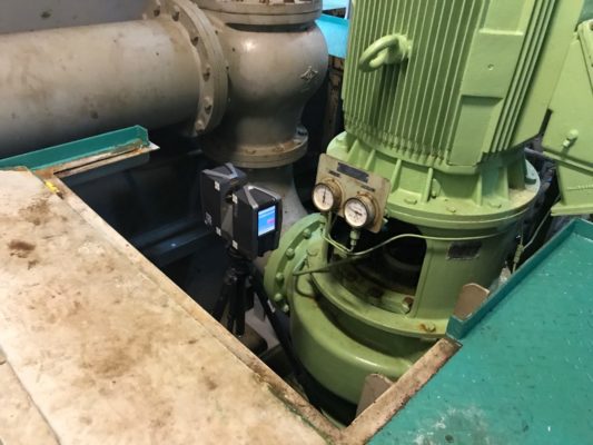
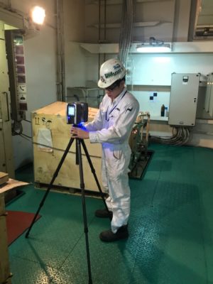
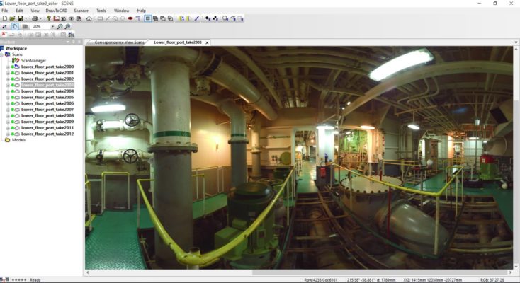
For 3D documentation of building, excavation volumes, structural deformations, factories and process plants, large range Focus 3D scanner can be deployed and output native file in point cloud format. To convert the raw data to CAD, our experience partner, Laser Design Inc from USA is able to advice on the process.
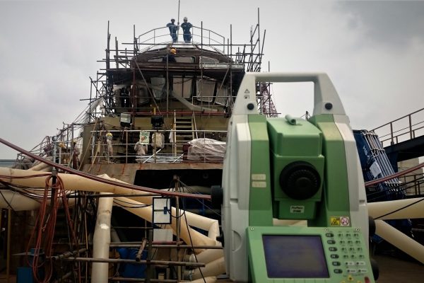
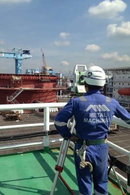
For long range (more than 20m) non contact linear measurement and survey, we have 2 set of Leica TM30 Total Station ready to be deployed to site.


